
Street View has always been a useful Google tool, letting you spy on holiday destinations, historical landmarks, and your own driveway from the comfort of a web-connected computer. What it lacks is a way to take a seamless ride through a Street View-powered world, but now there’s a site that can stitch together images directly from your route.
Google Maps Streetview Player by Brian Folts asks you for an origin and destination and then you’re off on your way through Street View between those two points. Bring down the advanced options and you can choose the frames-per-second (knock it down if your browser’s struggling) and your mode of transportation: driving, cycling, transit or walking.
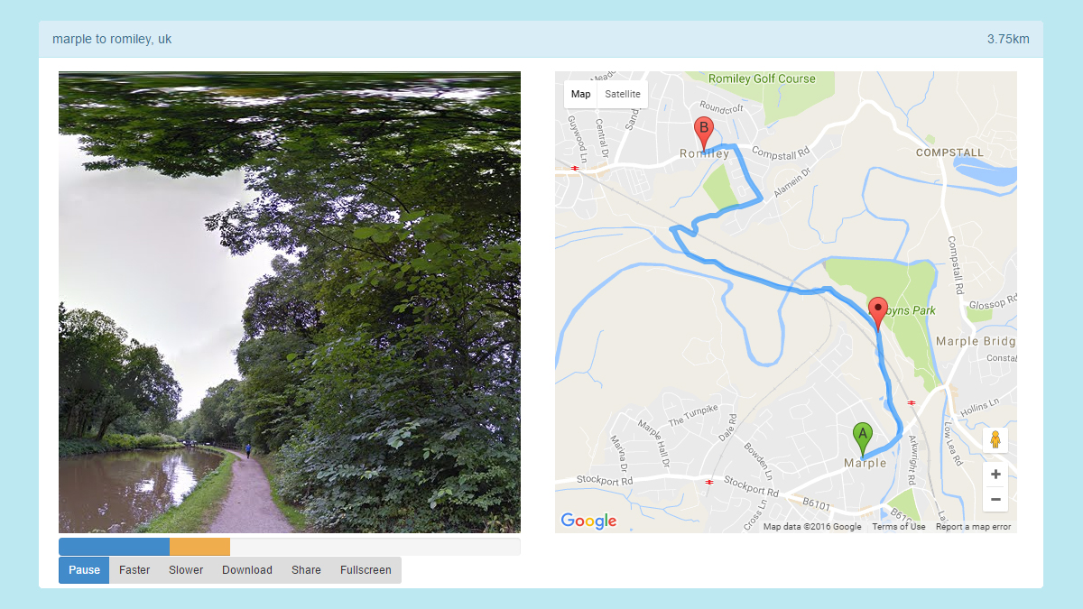
It’s not the most perfect plug-in you’ve ever seen (it doesn’t auto-complete place names, for example) but it sure beats manually clicking through on Street View in Google Maps if you want to take a virtual journey. As an added bonus you can export your movie as a GIF.
There are all kinds of ways you can use this. Scout out a route before you have to drive it, check out whether a walking route really is viable or not for your choice of shoes, revisit a memorable road trip, and more besides. It’s strange that Street View doesn’t let you do this natively, but in the meantime this is a cool little alternative.

It’s not the only option for taking a Street View tour, either. RouteView is more comprehensive, and lets you add waypoints, but it doesn’t work quite as smoothly as Streetview Player. Meanwhile Streetview Player itself has an Android app you can make use of on the go.