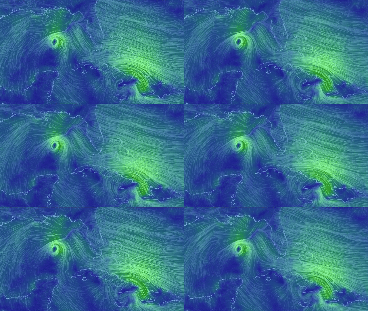
Two hurricanes are forecasted to slam the Gulf Coast this week, and Lousiana could see back-to-back landfalls in an unprecedented succession. Marco strengthened from a tropical storm to a Category 1 hurricane over the weekend, and the latest U.S. National Hurricane Centre forecast has it hitting the southeastern coast of Lousiana on Monday. Tropical Storm Laura is also expected to strengthen to a hurricane rated Category 2 or higher before it makes landfall on or near the Lousiana coast around Wednesday.
Back-to-back hurricanes are likely to exhaust disaster response resources in Lousiana, Mississippi, Alabama, and other areas of the Gulf Coast pelted by rainfall and high winds, as well as hinder attempts by first-responders to offer aid in the window between the two storms. Only once in recorded history have two hurricanes occupied the Gulf of Mexico at the same time, in 1933, and no state’s ever had to endure a one-two punch in such a short timeframe.
“The unprecedented kind of thing here is that it’s the same state within 48 hours of each other,” National Weather Service meteorologist Benjamin Schott said per CNN. “In modern meteorological history…there’s never been anything like this before where you could have possibly two hurricanes hitting within miles of each other over a 48 hour period.”
Hurricane warnings are posted from Morgan City, Louisiana to the mouth of the Pearl River. A storm surge warning is also in effect from Morgan City east to Ocean Springs, Mississippi, where water rushing in from the storm could rise up to six feet above dry land, and the town of Grand Isle in southeastern Lousiana was ordered to evacuate on Sunday.
The U.S. National Hurricane Centre warned of “life-threatening storm surge and hurricane-force winds” Monday throughout areas of the Gulf Coast. As of Sunday afternoon, Hurricane Marco has sustained winds of 121 km/h with gusts of 129 km/h or higher predicted to buffet some coastal areas as the storm approaches.
As for Tropical Storm Laura, it’s reported as having sustained winds of 80 km/h and is expected to reach 161 km/h Category 2 intensity on Wednesday over the Gulf of Mexico. The latest track forecast for Laura has it shifting west, putting Houston and parts of southern Texas on alert as well.
Hurricane season hasn’t even reached its peak yet, and already it’s proving to be just as apocalyptic as the rest of 2020 so far. Current weather forecasts don’t show much hope of things lightening up in the next few weeks, either, so bunker down, folks, at least until Mother Nature is done pelting us with cataclysmic events. See y’all in 2021 (probably).
