A hiker was rescued from a cliff edge on Saturday after allegedly following a Google Maps trail that didn’t actually exist, making him one of several hikers who followed the same trail to get stranded. A search and rescue team responded to reports of a hiker stranded on Mount Fromme in Vancouver, Canada, who attempted to climb the exceedingly difficult terrain from the Kennedy Falls area.
The North Shore Rescue (NSR) stated the area is very steep with no trails leading to the cliff where the hiker was found. It says warning signs were placed to alert hikers against making the trek.
“The area is clearly dangerous, as it was the sight of a previous fatality,” the organization said in a Facebook post Saturday.
NSR deployed a helicopter rescue team but wasn’t able to locate the hiker from the air. The dense tree canopy blocked the hiker from view and according to the post, the hiker travelled with “minimal gear,” meaning he did not have a flashlight on hand to direct the rescuers to his location. A search and rescue team did eventually find the missing backpacker.
This is not the first time a hiker needed to be rescued on the mountain while following Google Maps, the NSR reported. A second hiker was stranded on a cliff in September after allegedly following a similar trail that appeared on the app and called 911, saying he was stuck on Mount Fromme and, “he was hanging on and wasn’t sure how long he could hold on.”
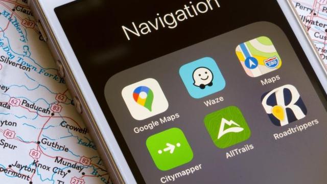
The NSR confirmed Google Maps deleted the trail north of Fromme on Monday, but warned against using phones for navigational purposes while hiking.
“It is simply not appropriate to navigate in the wilderness using ‘urban street map’ programs like Google Maps,” the NSR said in its initial post. “If you are using a phone-based navigation app, consider using something specifically designed for the outdoors such as CalTopo or Gaia, pre-loaded with an appropriate wilderness topo map for the area. We always recommend the good old-fashioned paper map and compass.”
Google Maps’ error comes just months after a lawsuit was filed against Google for out-of-date directions that led a man across a collapsed bridge causing him to plunge to his death in the icy water below. The complaint accused Google of not updating Maps in a timely manner, saying the bridge collapsed nine years previously and should have been reflected in the app.
A Google spokesperson told Gizmodo at the time: “Our goal is to provide accurate routing information in Maps,” but if Google is committed to providing accurate information and updating its app, it remains to be seen why a non-existent trail still appeared on Google Maps.
Google did not immediately respond to Gizmodo’s request for comment, but a spokesperson told Business Insider: “We use a variety of sources to update Google Maps, including third-party information, imagery, and feedback from our community.”