The United States military is everywhere. It’s so big that it’s hard to quantify just how massive it is — any number used to describe it is so large that it defies the understanding of an ordinary human brain. Which is why artist Josh Begley skips the numbers and goes straight to the visuals with this chilling map, which catalogues every US military base in the world.
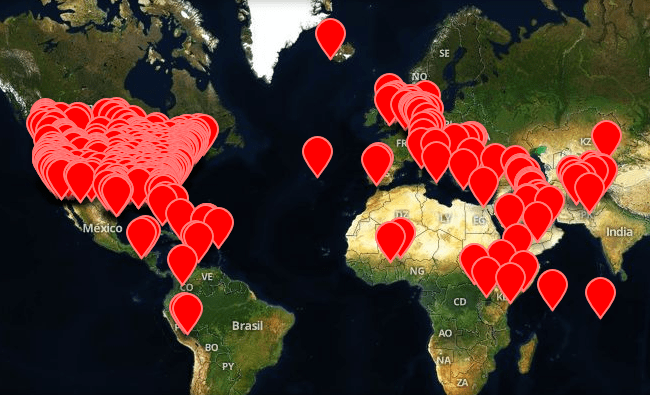
A self-described “data artist,” Begley has started an ongoing effort to collect satellite imagery from every US military installation in the world. The initial map, parked at Empire.is, collects all of the data listed in the Department of Defense’s 2013 Base Structure Report. The official report doesn’t include the military’s secret bases, though, so Begley has included others that have been unearthed — and he encourages people to submit information for others that he’s missing.
The resulting collection is mind-boggling. At the top, there’s a zoomable world map with all of the installations plotted. Keep zooming in, and eventually the map will reveal the satellite imagery for each location, assuming it exists. As Begley points out, plenty of sites have been censored from public view.
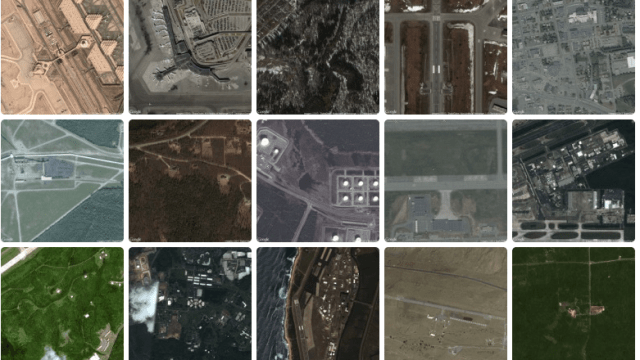
Below the map, Begley’s done the dirty work of collecting the imagery from all of the bases in an unlabeled grid of aerial images. The frigid tableau could just as easily be a collection of parking lots, if you don’t look to closely. It feels weird to say — but in this abstracted form, the war machine is beautiful. [Empire.is via Google Maps Mania]
Naval Communication Station Holt, Australia
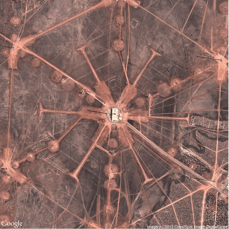
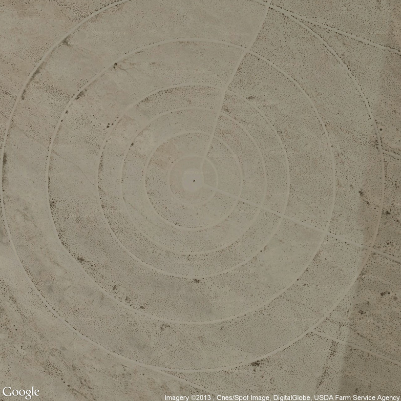
Barry M. Goldwater Air Force Range, Arizona
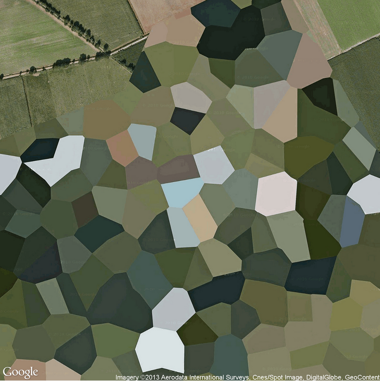
Volkel Air Base, The Netherlands
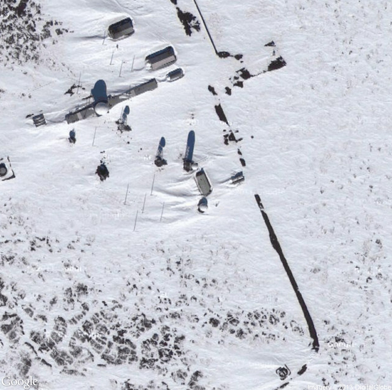
Wainwright SRRS
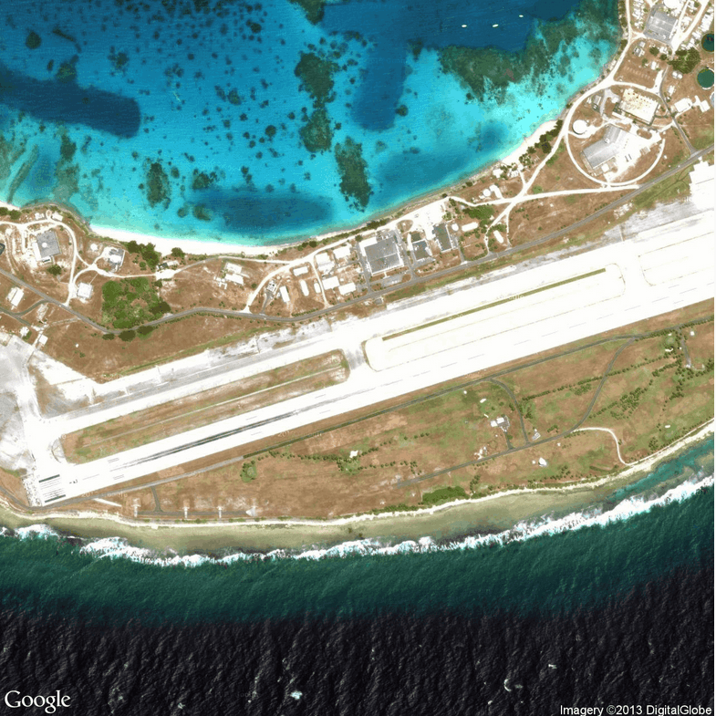
Bucholz Army Airfield (Kwajalein), Marshall Islands
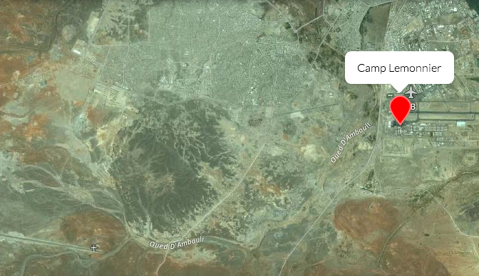
Camp Justice, Guantanamo Bay, Cuba Iraq