Yesterday, NASA revealed the ominous news that the West Antarctic Ice Sheet had begun its inevitable, unstoppable collapse — heralding a sea level rise that’s destined to be catastrophic. Now, they have uploaded a time-lapse that shows its early beginnings in a small section of western Antarctica.
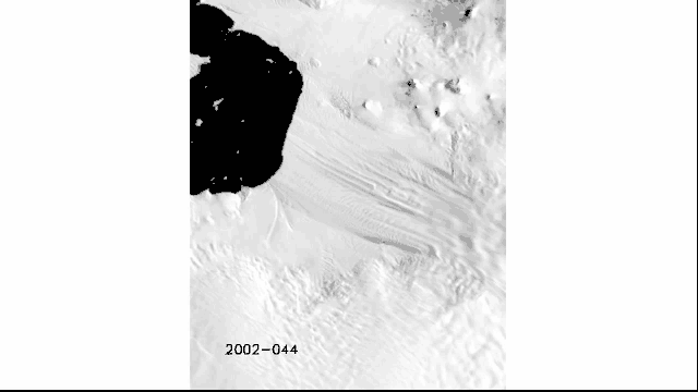
What you see above is the Amundsen Sea region, in western Antarctica, which is just a small section of the ice sheet itself. But in 1981, a researcher studying the ice disintegration described it as a danger zone — the “weak underbelly of the West Antarctic ice sheet.” It’s the first thing to go, explains NASA, and here’s why it’s so important:
In addition to the ice sheet being grounded below sea level, there are three main reasons. First, the glaciers here lack very large ice shelves to stem ice flow. Second, they aren’t “pinned” by obstructions in their beds except in a few small places, unlike the Ronne and Ross shelves which are pinned down by large islands. Third, as first observed in the 1990s, the area is vulnerable to a regional ocean current, ushered in by the shape of the sea floor and the proximity of the circumpolar deep current. This current delivers warm water to grounding lines and the undersides of ice shelves in the region.
It may only be a small portion, but if it melts completely, it will raise global sea levels upwards of four feet. On the other hand, if the entire ice sheet melted, it would raise levels by 16 feet. Either way, things don’t look good for coastal cities. [NASA JPL]