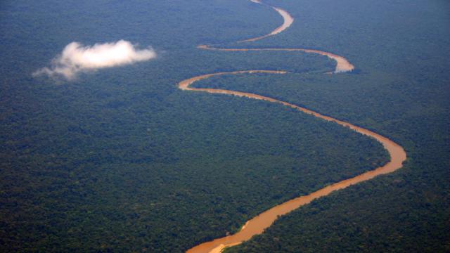
Laser technology is continuing to prove its worth in the Amazon: A team of archaeologists in Ecuador just used the tech to discover thousands of earthen mounds hidden under the forest’s canopy.
The 2,000-year-old site contains some 6,000 earthen platforms connected by ancient roads, also visible to the laser technology, called lidar. Though some of the structures were noticed as early as 20 years ago, the Associated Press reports, the recent findings show the true scale of the ancient cities. The team’s research is published this week in Science.
Lidar—short for Light Detection and Ranging—has had plenty of success in identifying ancient structures from the air, especially in forested areas or places where the earth has covered up the sites. In 2021, a different team of archaeologists mapped nearly 500 Mesoamerican sites across 30,000 square miles of Mexico using lidar, revealing insights into how the inhabitants oriented their settlements. That same year, another team used the tech to scan Teotihuacán, the ancient Mesoamerican city northeast of modern Mexico City, to better understand how the metropolis was constructed. If that’s not enough to convince you of lidar’s remarkable contributions to the field, back in 2018 an archaeological team found over 60,000 ancient Maya structures, including a pyramid, north of the ancient city of Tikal.
In the recent research, the researchers describe large platforms, plazas, streets and roads, as well as an agricultural drainage system on the sites, which are in Ecuador’s Upano Valley. The road system, the researchers wrote, extends “over tens of kilometers, connecting the different urban centers, thus creating a regional-scale network.” The sites were occupied for a sustained period, from around 500 BCE to between 300 CE and 600 CE.
Antoine Dorison, a co-author of the study and an archaeologist at France’s National Center for Scientific Research, told the AP that the multi-city network boasted a population of at least 10,000 people, and perhaps as many as 30,000 at its zenith. The sites were inhabited by the Upano people.
It’s no surprise that the ancient inhabitants created an extensive drainage system; across Mesoamerica, pre-Hispanic populations modified low-lying wetlands for agricultural use.
Lidar is also used to analyze modern sites; last year, a satellite company at the Geospatial World Forum announced plans to use a satellite constellation to map the Earth in lidar. It seems like no ancient city will be left unturned by the perceptive laser technology.