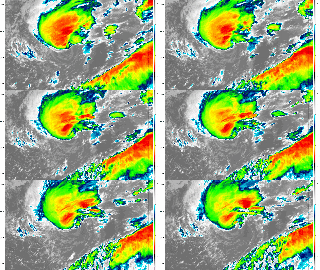
It’s officially the busiest Atlantic hurricane season in 170 years of record keeping. Subtropical Storm Theta formed late on Monday, taking us further into the Greek alphabet.
The storm itself isn’t a particularly formidable sight to behold or even that interesting. It’s subtropical, meaning it has characteristics of both tropical storms and those that form in the higher latitudes with cold cores (think your nor’easters and whatnot), but we get a few of those a year, especially late in the season. Theta has winds of 80.5 kph, which isn’t going to do much damage. It’s puttering eastward from the middle of the Atlantic toward the Strait of Gibraltar. While Portugal’s Madeira Islands are in its path, it’s way too early to talk about if landfall will happen there, let alone impacts.
But for all the ho-hum characteristics, it’s what the storm represents when we zoom out to the season level that matters. Theta is the 29th storm to form in an Atlantic hurricane season that started early, and with few exceptions, never really let up. A record-setting number of storms have now formed, adding to the other slew of records set this season. Those include cumulative ones such as a record 12 cyclones making landfall in the U.S. as well as individual freaks such as Tropical Storm Cristobal’s “lakefall” on Lake Superior, and Hurricane Laura, which tied for the strongest storm to ever make landfall in Louisiana. The disaster fatigue has been real, as 2020 has layered record hurricanes on top of record wildfires on top of a derecho on top of a deadly pandemic.
Conditions were prime for a busy season, and the National Oceanic and Atmospheric Administration forecast reflected that. But the season has outpaced even the forecast as the atmosphere and ocean conspired to keep churning out storms. Overall, this year has seen slack winds high above the Earth’s surface that have allowed hurricanes to spin up. That can actually be linked in part to cooler-than-normal ocean temperatures in the tropical Pacific, where a La Niña has formed. In the Atlantic, Caribbean, and Gulf of Mexico, though, warm ocean waters have in turn allowed a spate of cyclones to rapidly intensify, sometimes with disastrous consequences right before landfall.
That includes Eta, a former major hurricane that smashed into Central America last week and has done a loop de loop over Cuba and Florida. It could make yet another landfall on the Gulf Coast again this weekend because why not.
Climate change could be playing a role. Everything getting hotter, including oceans, is a hallmark of climate change (you know, the whole global warming thing). Atlantic hurricanes have been intensifying more rapidly and into more fierce storms in recent decades. Atlantic hurricane season has also seen the Power Dissipation Index — a measure of a season that takes into account the number of storms, intensity, and duration — rise over the course of the satellite era. Both natural- and human-caused climate change-driven factors are behind the trend.
Findings show the deadly 2017 hurricane season got a boost from climate change, and it wouldn’t be surprising to see similar results about this year’s flurry of cyclones. We’ll have to wait for research to come out on the exact role, but then we also have to wait for this season to officially end on November 30. And Theta may not be our last storm; the U.S. National Hurricane Centre has already identified another disturbance to watch over the next five days in the Caribbean.
